Why a Unified Approach to Environmental Data Is No Longer Optional
By Alicia J. Keyes · March 25, 2026
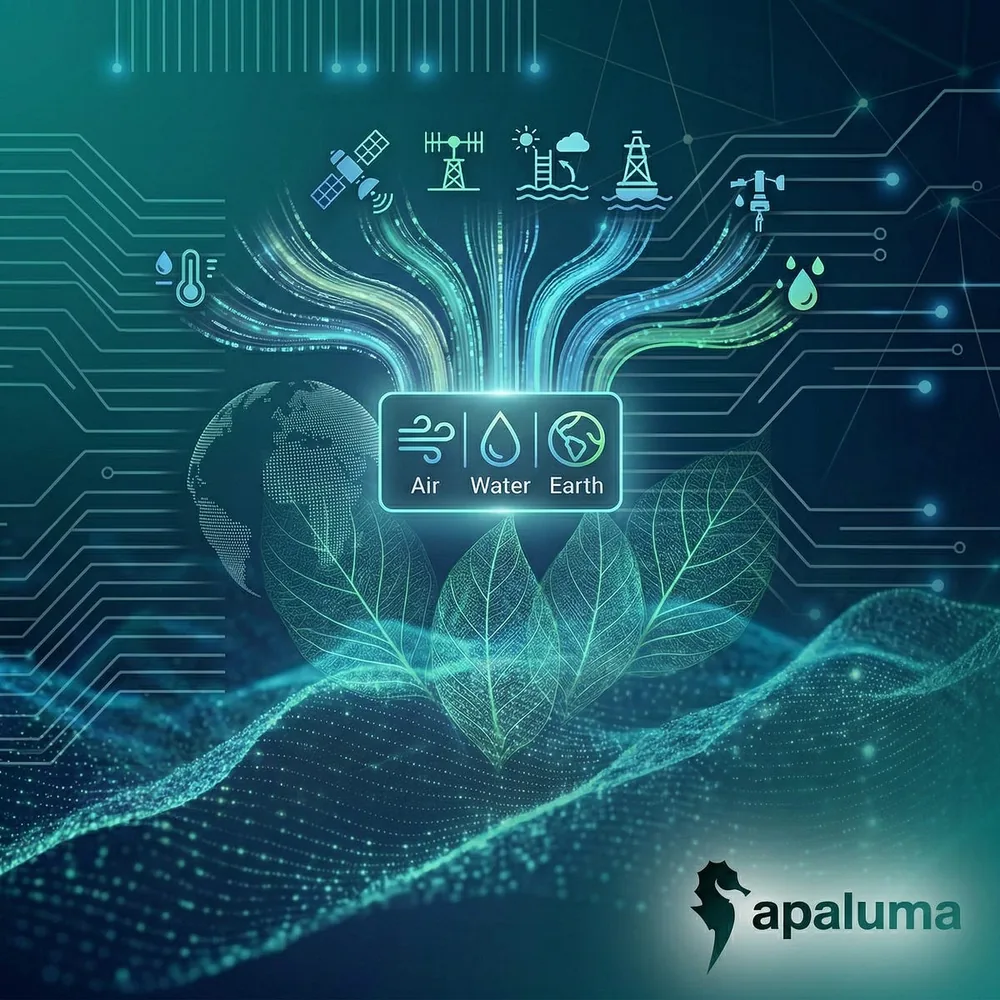
Every year, billions of dollars are spent across the world to monitor the health of our environment. Whether it is installing air quality sensors in urban neighborhoods, sampling water in rivers and reservoirs, or completing soil health studies in agricultural zones, we are collecting more data than ever about the world around us. But while data collection has improved, the way that we see and understand this data has not.
The environmental data landscape remains fragmented, siloed, and, as a result, ineffective in driving meaningful action.
At Apaluma, we believe that it is time for a radical shift.
The Patchwork Problem
Today, accessing environmental data and drawing conclusions from it feels like assembling a puzzle with missing pieces and no image to guide you. If you’re a policymaker, a researcher, or a concerned citizen, you often have to consult several portals to gather data regarding different air pollution metrics, then find additional databases about water contamination, and then yet again continue your search if you want to consult reports on soil degradation, hazardous waste or any other metric. Even more fragmented is the connection between human activity and the environment they directly affect.
This fragmentation is not just inconvenient - it is dangerous. It obscures patterns, delays insights, and ultimately weakens our response to environmental threats.
Why A Unified Approach Matters
Nature doesn’t work in silos, so why does our environmental data? A pollutant released into the air can settle into the soil, wash into waterways, and disrupt ecosystems in ways that are deeply interconnected. Yet the data we collect to monitor these changes remains fragmented. If we want to truly understand environmental change and human impact, we need a holistic lens.
Other industries have already embraced the power of unification. In healthcare, electronic health records transformed treatment by bringing scattered medical data into a single, accessible view. In finance, real-time dashboards integrate stock trends, economic indicators, and global news to support rapid, informed decisions. Environmental intelligence should be no different.
Here’s what becomes possible when we take a unified approach to environmental data:
Layered insights uncovers key patterns.
When air, water, and soil data are visualized together in real time, patterns emerge that would otherwise go unnoticed.
Causal clarity exposes the real impact of human activity.
By overlaying permit data onto environmental metrics, we can directly correlate activities like construction, agriculture, or industrial discharge with spikes in pollutants or ecosystem disruption, something that is essential for regulatory enforcement and policy reform.
Unified data drives faster and smarter decisions.
Cities, NGOs, and environmental agencies armed with integrated data can make more timely and targeted choices.
A New Standard for Environmental Intelligence
Each year brings new records: hotter temperatures, stronger hurricanes, more devastating floods and wildfires.
Apaluma was born from the belief that environmental intelligence needs to catch up with environmental urgency. Our platform is designed not just to visualize the planet’s health—but to make that visualization actionable, interconnected, and informed by the very permits and activities shaping our world.
We’re not just building a map—we’re building a movement. A movement toward environmental clarity. Toward accountability. Toward truth.
Because once you see the whole picture, you can finally start to change it.
The Power of Real-Time, Integrated Systems
Real-time data isn’t a luxury, it is essential. According to Heavy.ai, a Nvidia backed big data company, “Continuous sensing and near-instant analysis will become the new standard as climate volatility accelerates.” When decisions are made with stale or incomplete data, the consequences can be severe.
Apaluma is the first platform that not only integrates environmental data across air, water, soil, and beyond—but does so in real time, with live feeds, predictive modeling, and historical overlays. More importantly, it shows how human decisions—especially permitted activities—interact with ecosystems.
Originally published on Alicia J. Keyes’ Substack.